Back to Weather

5-day forecast / Denison, TX

ThursdayShowers And Thunderstorms Likely75° / 69° 72%
FridayShowers And Thunderstorms73° / 66° 80%
SaturdayShowers And Thunderstorms Likely76° / 65° 70%
SundaySlight Chance Rain Showers80° / 62° 23%
MondaySunny81° / 58° 3%

Flood Watch in Effect for Denison as Rain and Thunderstorms Continue - Oct 1, 2 PM

Denison weather, updated every four hours — local forecasts you can trust.

A severe Flood Watch is active for Deniston through tomorrow morning. Heavy rain and thunderstorms are expected today and tomorrow, with significant rainfall totals possible.

Briar Iverson

October 1, 20262 min read

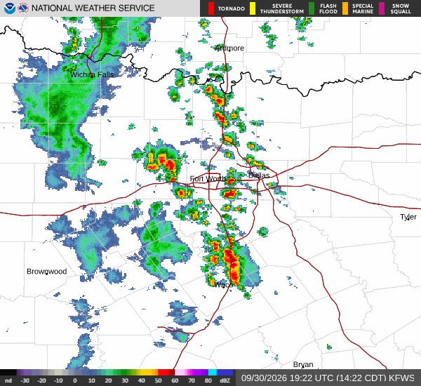
National Weather Service radar for North Texas (KFWS)

*As of Oct 1, 2 PM local time.*

Active Alert and Current Conditions

A severe Flood Watch is currently in effect for the Denison area, issued by the National Weather Service in Fort Worth. This alert remains active until 7:00 AM CDT on October 2. Residents should remain vigilant as conditions are favorable for flooding.

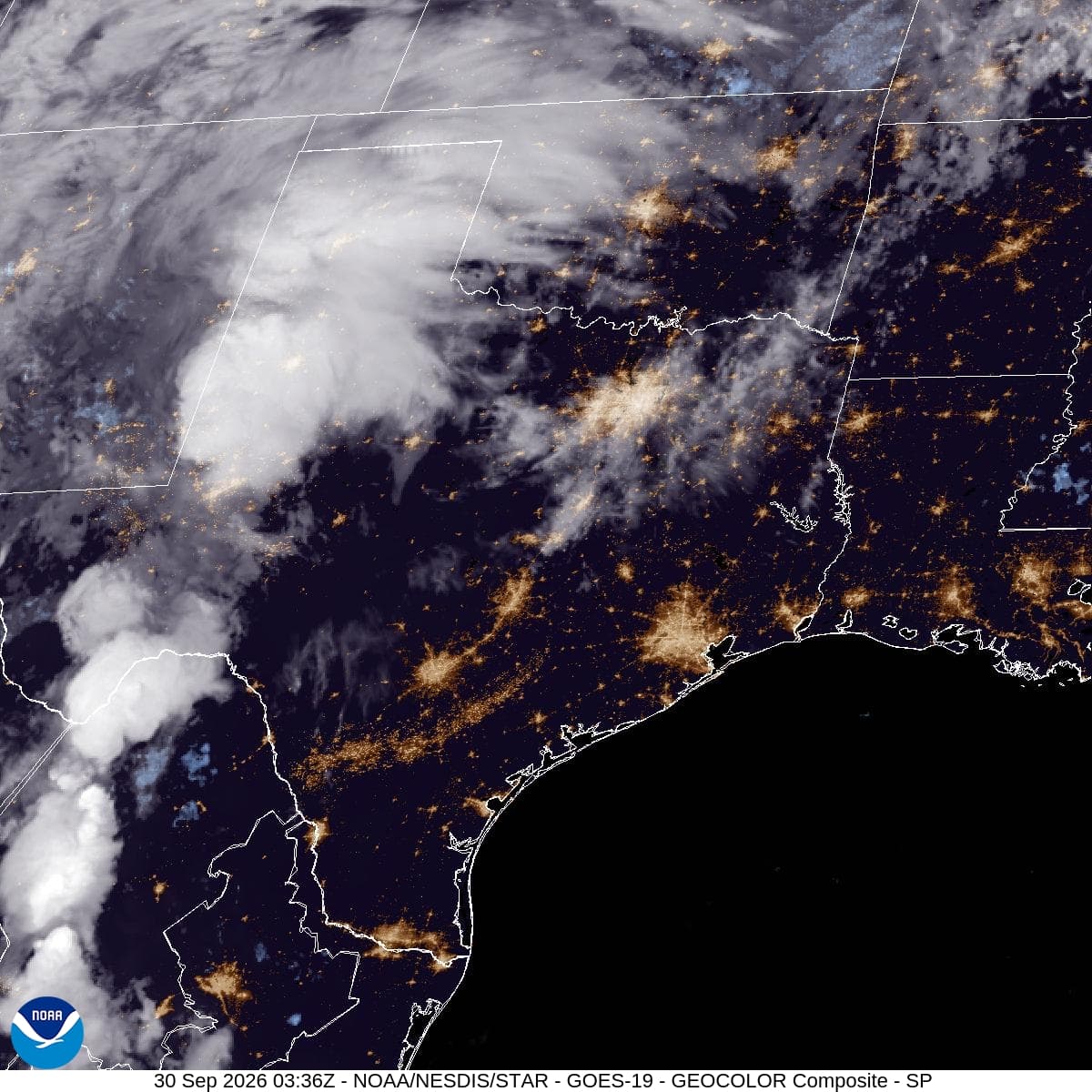
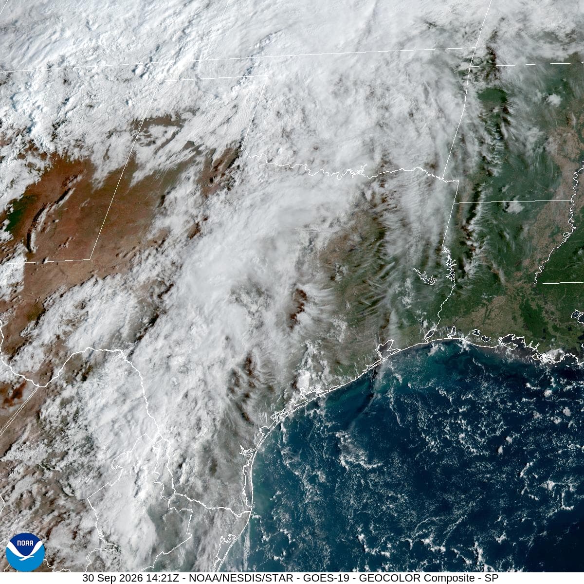
Right now, the atmosphere is saturated with moisture. The air temperature sits at 70 degrees Fahrenheit, matching the feels-like reading. Relative humidity is high at 94 percent, with a dew point of 68 degrees.

Winds are blowing from the south-southeast at 10 mph, though gusts have been reported up to 20 mph earlier in the day. The sky is currently obscured by rain and fog or mist, reducing visibility.

Forecast for Today and Tonight

Today, showers and thunderstorms are likely before 4:00 PM, followed by a chance of additional storms later in the afternoon. Expect cloudy skies with a high near 75 degrees. Rainfall amounts between a tenth and a quarter of an inch are possible during this period.

As tonight approaches, the threat of precipitation increases. A chance of showers and thunderstorms is expected before 10:00 PM, after which showers and thunderstorms will become more consistent. Temperatures will start near 69 degrees but rise to around 72 degrees overnight due to cloud cover.

Winds will shift to a southeast direction at 0 to 5 mph. The chance of precipitation stands at 80 percent, with new rainfall amounts between 1 and 2 inches possible.
Outlook for Tomorrow

Tomorrow brings continued wet weather. Showers and thunderstorms are expected throughout the day under cloudy skies. The high will reach near 73 degrees, with temperatures dropping to around 71 degrees in the afternoon. Winds will shift to the north-northeast at 5 to 10 mph. The chance of precipitation remains high at 80 percent, with new rainfall amounts between three-quarters and one inch possible.

Safety Reminder

With a severe Flood Watch in place, please prioritize safety. Avoid driving through flooded roadways, as water depth can be deceptive. Stay informed by monitoring local news and weather updates for any changes to the alert status. If you live in a flood-prone area, have an evacuation plan ready. Hydrate well if you must be outdoors, but limit exposure during peak storm activity.

National Weather Service radar for North Texas (KFWS)

Sources

National Weather Service radar

National Weather Service forecast data

Open-Meteo weather data

Share

Briar Iverson

Briar Iverson covers weather, storms, and seasonal life around Denison.

Related Stories

More in Sport

Sport

Dallas Stars’ Traverse City Choice Faces Its First Real Test

Tuesday’s final practice gave Dallas structure during an unusual preseason gap. Friday against St. Louis and Saturday at Nashville will show whether two sessions preserved enough rhythm for the opening back-to-back.

Reese StroudSeptember 30, 20264 min read