*As of Sep 30, 2 PM local time.*
Current Conditions and Alert Overview
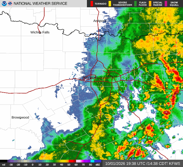
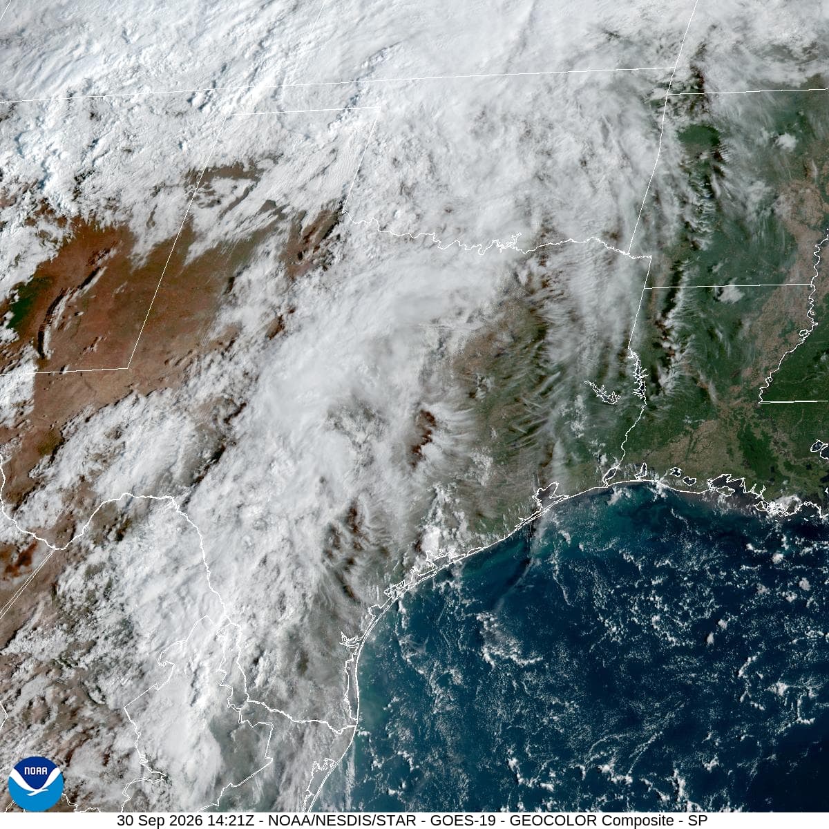
Denison, TX is currently under an active NWS Flood Watch with severe severity, which remains in effect until October 2 at 7:00AM CDT. This alert signals a heightened risk for flooding as atmospheric conditions shift from oppressive heat to heavy precipitation.
Right now, the air temperature stands at 88F, but the heat index makes it feel like 93F. The atmosphere is quite humid, with a dew point of 70F and relative humidity at 55%. Winds are blowing from the south at 16 mph, with gusts reaching up to 23 mph. The sky remains mostly cloudy as the region prepares for a significant weather transition.
Today and Tonight Forecast
Today, high temperatures will reach near 93F, with heat index values climbing as high as 97F. Rainfall is expected to begin early, with isolated showers possible before 4pm, followed by scattered showers and thunderstorms later in the day. The chance of precipitation is 40%, with new rainfall amounts between a quarter and half of an inch possible.
Tonight, conditions will remain wet with a low near 72F. Temperatures may rise slightly to around 74F overnight. Scattered showers and thunderstorms are likely before 10pm, followed by continued showers and thunderstorms.
The chance of precipitation jumps to 90%, with new rainfall amounts between 1 and 2 inches possible. Winds will remain from the south at 10 to 15 mph, with gusts as high as 25 mph.