*As of Sep 20, 2 PM local time.*
Dangerous Heat Conditions
It is currently Sunday this afternoon in Denison, and the primary concern is the intense heat. The air temperature stands at 95F, but the combination of humidity and heat creates a feels-like temperature of 100F. This level of heat index is considered dangerous, particularly for those spending time outdoors.
The sky is currently overcast, and winds are blowing from the south southwest at 9 mph. Relative humidity is at 42%, with a dew point of 68F. Although the chance of precipitation today is only 8%, the heat remains the dominant factor for the rest of the day.
Temperatures are expected to fall to around 91F in the afternoon, but heat index values will remain as high as 97F. Residents should limit midday exertion and ensure they are well-hydrated to manage the physical stress of the high temperatures.
Tonight’s Storms and Tomorrow’s Outlook
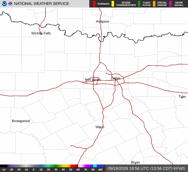
The weather pattern shifts significantly as night falls. A chance of showers and thunderstorms is expected between 7pm and 10pm. These storms are likely to become more frequent between 10pm and 4am, with a 60% chance of precipitation.
New rainfall amounts between a quarter and half of an inch are possible, which may provide some relief from the daytime heat. The low temperature tonight will be around 73F, with southeast winds slowing to 0 to 5 mph. The sky will remain mostly cloudy throughout the night.