Back to Weather

5-day forecast / Denison, TX

WednesdayScattered Showers And Thunderstorms93° / 72° 36%
ThursdayShowers And Thunderstorms78° / 69° 87%
FridayScattered Showers And Thunderstorms80° / 66° 52%
SaturdayScattered Rain Showers77° / 65° 47%
SundayChance Rain Showers81° / 63° 29%

Flood Watch in Effect for Denison as Storms Approach - Sep 29, 2 PM

Denison weather, updated every four hours — local forecasts you can trust.

A severe Flood Watch is active for Denison through October 1. Temperatures remain near 90F today, with a chance of showers and thunderstorms developing tomorrow.

Briar Iverson

September 29, 20262 min read

National Weather Service radar for North Texas (KFWS)

*As of Sep 29, 2 PM local time.*

Active Weather Alert

Residents in Denison are under an active Flood Watch, which carries a severe severity rating and future urgency. This alert was issued by the National Weather Service in Fort Worth on September 29 at 1:43AM CDT and remains in effect until October 1 at 1:00PM CDT. The watch indicates that conditions are favorable for flooding, prompting local authorities to monitor developing weather patterns closely.

Current Conditions and Today's Forecast

Right now, the air temperature stands at 90F with a feels-like temperature of 91F. Relative humidity is at 43%, while the dew point sits at 64F. Winds are blowing from the south southeast at 14 mph, with gusts reaching 18 mph under a clear sky.

Today, Denison will see mostly sunny skies with a high near 91F and a low around 74F tonight. The chance of precipitation is minimal at just 1%. Winds will continue from the south southeast, ranging between 10 to 15 mph, with gusts as high as 25 mph during the day. As evening falls, skies will become partly cloudy with winds settling to around 10 mph.

Tomorrow's Outlook and Safety Tips

Tomorrow brings a shift in weather patterns. The sky will be partly sunny initially, but there is a 30% chance of showers and thunderstorms developing after 1pm. Highs will reach near 91F, cooling slightly to around 89F in the afternoon. Winds will persist from the south southeast at 10 to 15 mph, with gusts up to 25 mph.
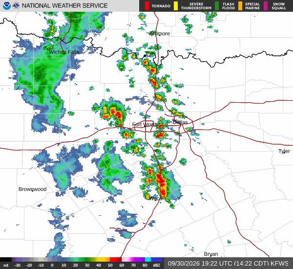
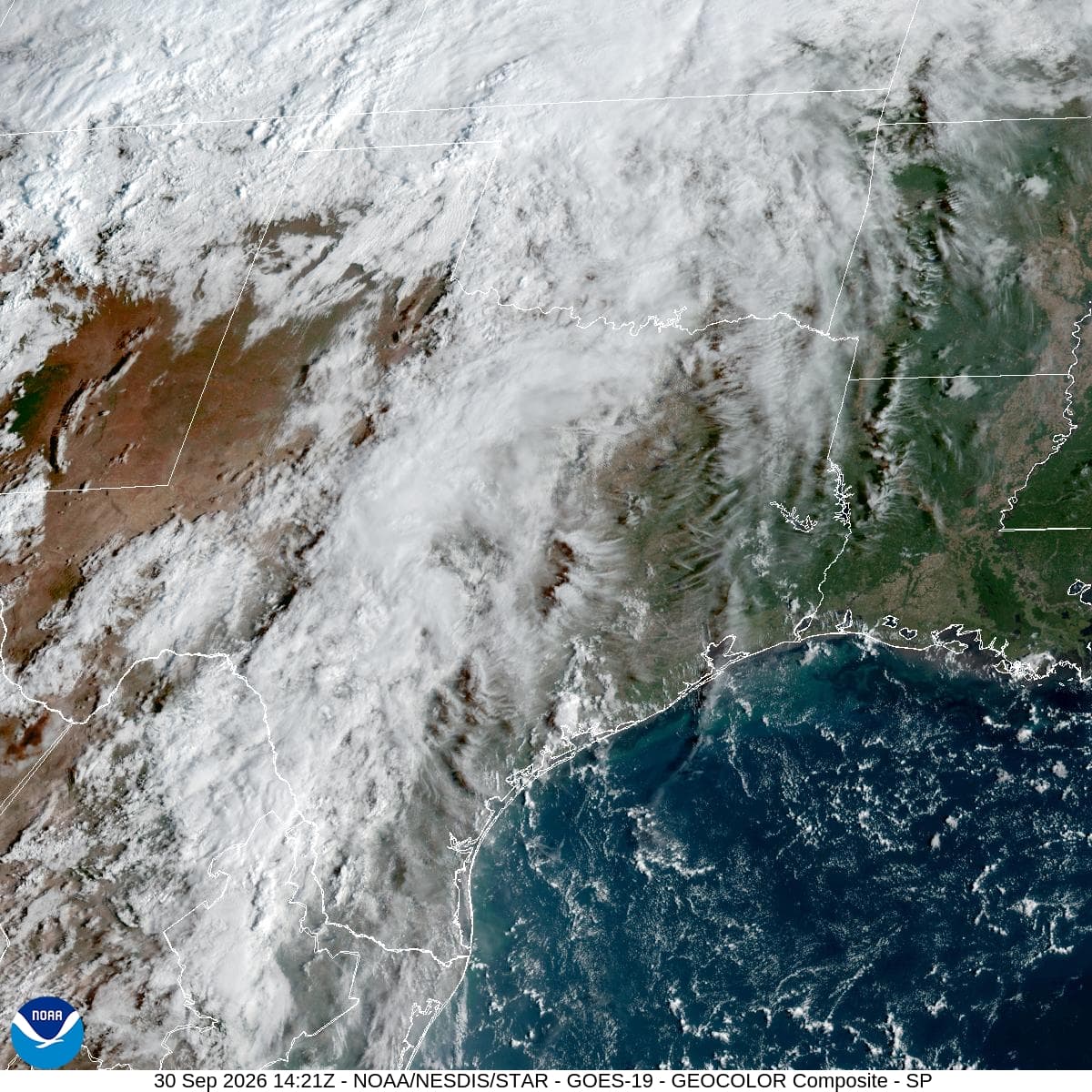
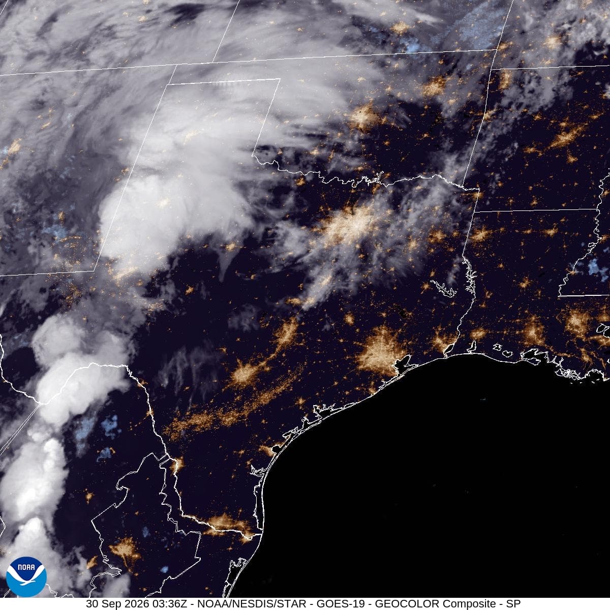
Looking ahead to tomorrow night, showers and thunderstorms are expected to continue under mostly cloudy skies. Lows will drop to around 72F, rising slightly to about 74F overnight. The chance of precipitation jumps to 80%, with new rainfall amounts between 1 and 2 inches possible.

Given the severe Flood Watch and potential for significant rainfall, residents should stay informed about local updates. It is advisable to monitor weather radar regularly and prepare for possible wet conditions. Ensure that drainage areas around your property are clear to help manage any runoff. Stay safe and keep an eye on the sky as conditions evolve.

National Weather Service radar for North Texas (KFWS)

Sources

National Weather Service radar

National Weather Service forecast data

Open-Meteo weather data

Share

Briar Iverson

Briar Iverson covers weather, storms, and seasonal life around Denison.

Related Stories

More in Sport

Sport

Dallas Stars’ Traverse City Choice Faces Its First Real Test

Tuesday’s final practice gave Dallas structure during an unusual preseason gap. Friday against St. Louis and Saturday at Nashville will show whether two sessions preserved enough rhythm for the opening back-to-back.

Reese StroudSeptember 30, 20264 min read