Back to Weather

5-day forecast / Denison, TX

FridaySlight Chance Showers And Thunderstorms then Mostly Sunny96° / 72° 19%
SaturdaySunny100° / 78° 3%
SundaySunny99° / 78°
MondaySunny98° / 78° 1%
TuesdaySunny99° / 78° 2%

Denison Heat Index Reaches 102 Degrees as Storms Loom - Sep 10, 2 PM

Denison weather, updated every four hours — local forecasts you can trust.

Residents in Denison are facing dangerous heat conditions with a current feels-like temperature of 102 degrees. While skies are clear now, a chance of showers and thunderstorms is expected later today and tomorrow.

Briar Iverson

September 10, 20262 min read

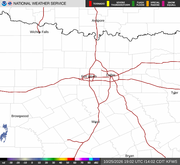
National Weather Service radar for North Texas (KFWS)

*As of Sep 10, 2 PM local time.*

Dangerous Heat Conditions

The primary concern for Denison this afternoon is the intense heat. The air temperature currently sits at 97 degrees Fahrenheit, but the combination of humidity and solar radiation creates a feels-like temperature of 102 degrees. This level of heat index is considered dangerous for prolonged outdoor exposure.

Current relative humidity is 39 percent, with a dew point of 68 degrees. The sky is clear, and winds are light at 7 mph, though gusts are only reaching 6 mph. These conditions contribute to the rapid rise in perceived temperature, making it feel significantly warmer than the actual air temperature indicates.

Today and Tonight Outlook

Today’s high is expected to reach near 99 degrees, with lows falling to around 76 degrees. While the morning and early afternoon will be mostly sunny, the atmosphere will become unstable later. There is a 42 percent chance of precipitation, with showers and thunderstorms likely to develop after 1 pm.

New rainfall amounts between a quarter and half of an inch are possible. Tonight will remain mostly cloudy with a continued chance of showers and thunderstorms. Temperatures will rise slightly to around 78 degrees overnight, and heat index values could reach 98 degrees.

Winds will shift to the northeast at around 5 mph.
Tomorrow’s Forecast

Tomorrow will bring a high near 96 degrees and a low around 78 degrees. The chance of precipitation remains at 44 percent, with a general pattern of showers and thunderstorms. The sky will be mostly sunny, but the heat index is expected to peak at 103 degrees, which is even higher than today’s peak.

Winds will come from the east southeast at about 5 mph. Rainfall totals are expected to be lighter, with less than a tenth of an inch possible. There are no active National Weather Service alerts in effect for the area.

Given the persistent high heat indices and the potential for sudden thunderstorms, it is important to stay hydrated, limit midday exertion, and monitor the sky for any rapid changes in weather conditions.

National Weather Service radar for North Texas (KFWS)

Sources

https://radar.weather.gov

https://api.weather.gov

https://open-meteo.com

Share

Briar Iverson

Briar Iverson covers weather, storms, and seasonal life around Denison.

Related Stories

More in Sport