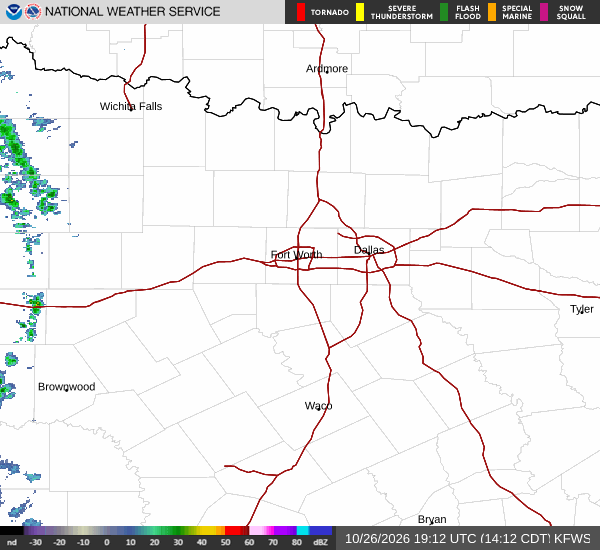
*As of Aug 24, 2 PM local time.*
Dangerous Heat Conditions
An Extreme Heat Warning is currently active for the Denison area, signaling severe and expected dangerous conditions. As of this afternoon, the air temperature stands at 100F, while the heat index makes it feel like 101F. The relative humidity is low at 26%, with a dew point of 59F.
Winds are blowing from the southwest at 14 mph, with gusts reaching 17 mph, under a clear sky. This combination of intense heat and low moisture creates hazardous conditions for anyone spending time outdoors.
Today and Tonight Outlook
Residents should expect continued extreme heat today, with the high temperature reaching near 108F. Temperatures are forecast to fall to around 105F in the afternoon, but heat index values will remain as high as 106F. The chance of precipitation is only 10%, keeping the sky sunny.
Tonight, conditions will remain hot with a low near 84F, though temperatures may rise to around 86F overnight. There is a slight chance of showers and thunderstorms after 4am, with a 20% chance of precipitation. The sky will be mostly clear, and heat index values will stay high at 105F.