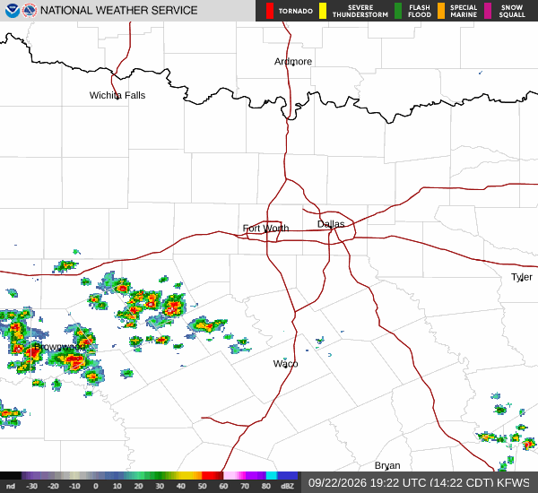
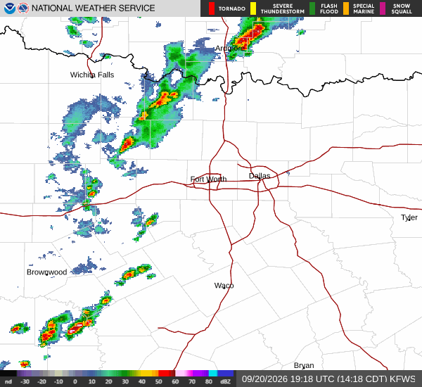
*As of Aug 8, 12 PM local time.*
Dangerous Heat and Humidity
Denison is currently under the influence of dangerous heat conditions this Saturday afternoon. The air temperature stands at 95F, but the heat index makes it feel like 103F. This significant disparity is driven by high humidity levels, with the relative humidity at 47% and a dew point of 72F.
These conditions create a muggy atmosphere that can make the heat feel more oppressive than the actual air temperature suggests.
Current winds are blowing from the south at 11 mph, with gusts reaching 11 mph. The sky remains mostly clear, allowing strong solar heating to continue impacting the region. Residents should be aware that the combination of high temperatures and elevated moisture in the air increases the risk of heat-related illnesses.
It is crucial to stay hydrated and limit time spent outdoors during the peak heat hours.
Forecast for Today and Tomorrow
Looking ahead, the heat will persist through the day. Today, temperatures are expected to reach a high near 100F before dropping to a low near 77F tonight. There is a 28% chance of precipitation, with a possibility of showers and thunderstorms earlier in the day, followed by sunny skies.
The National Weather Service indicates a chance of showers and thunderstorms before 10am, with heat index values potentially reaching 103 during the day.